Liu, Jian Guo Author
Biography not available.

Browse all ART CRITICISM books
Browse all Ashworth books
Browse all FOLKLORE books
Browse all GARDENS books
Browse all GRAPHIC NOVELS books
Browse all Hamilton books
Browse all HISTORY - MEDIEVAL books
Browse all HUMOUR books
Browse all KINDRED books
Browse all LITERARY STUDIES books
Browse all LONDON books
Browse all Lozada books
Browse all Medical : Nursing - Mental Health books
Browse all MIND books
Browse all MUSEOLOGY books
Browse all NON-CLASSIFIABLE books
Browse all NONLINEAR SCIENCE books
Browse all Ormonde books
Browse all POPULAR SCIENCE books
Browse all RELIGIOUS STUDIES books
Browse all SPIRIT books
Browse all SPORT books
Browse all TRAVEL WRITING books
 Out of Stock
ESSENTIAL IMAGE PROCESSING & G
Paperback · ISBN 9780470510315
Inclusive of GST and other taxes
Arriving at your doorstep in 10-15 days
Our logisitcs team will make sure everyitem is delivered safely
| ISBN | 9780470510315 |
|---|---|
| Subtitle | ESSENTIAL IMAGE PROCESSING & G |
| Publisher | John Wiley & Sons |
| Publication date | September 2009 |
| Language | English |
| MRP | £60.95 GBP |
| Page count | 460 |
| Item weight | 180 g |
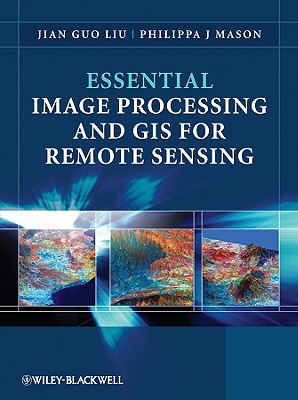
Key concepts and ideas are introduced in a clear and logical manner and described through the provision of numerous relevant conceptual illustrations. Mathematical detail is kept to a minimum and only referred to where necessary for ease of understanding. Such concepts are explained through common sense terms rather than in rigorous mathematical detail when explaining image processing and GIS techniques, to enable students to grasp the essentials of a notoriously challenging subject area.
The book is clearly divided into three parts, with the first part introducing essential image processing techniques for remote sensing. The second part looks at GIS and begins with an overview of the concepts, structures and mechanisms by which GIS operates. Finally the third part introduces Remote Sensing Applications. Throughout the book the relationships between GIS, Image Processing and Remote Sensing are clearly identified to ensure that students are able to apply the various techniques that have been covered appropriately. The latter chapters use numerous relevant case studies to illustrate various remote sensing, image processing and GIS applications in practice.
Log in to write a review for this book.
No reviews yet. Be the first to share your opinion.
Biography not available.
Biography not available.